
13
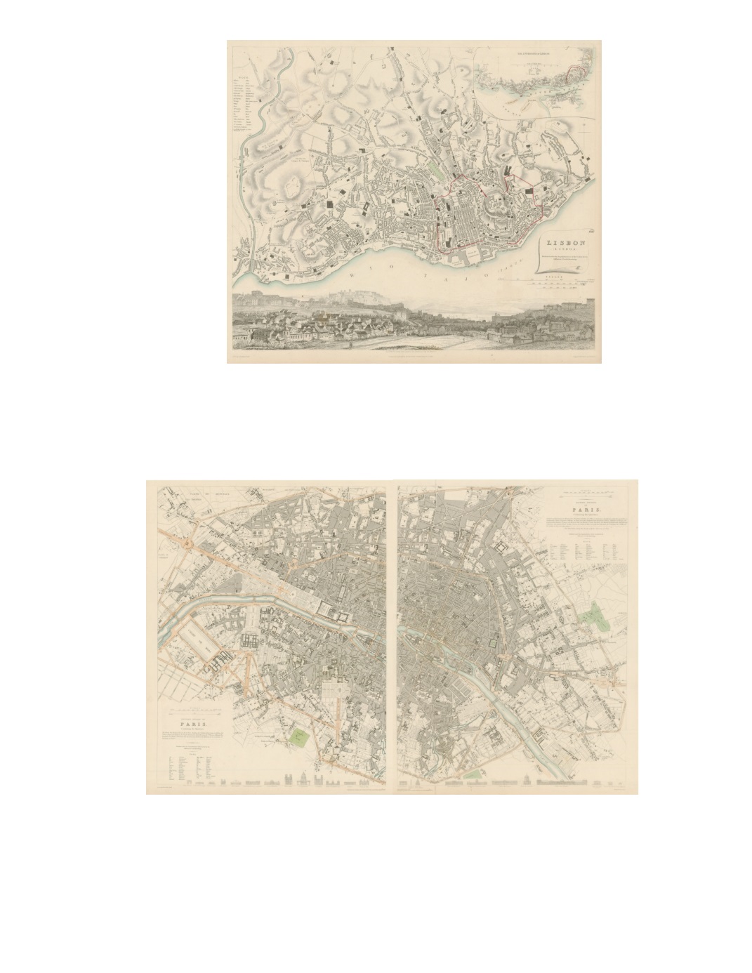
20) Lisbon By: W. B. Clarke Date: 1833 (Published) London Dimensions: 12.6 x 15.2 inches (32 cm x 38.5 cm) A fantastic steel plate engraving of the city of Lisbon with a regional inset map at top right. Major parks are distinguished in green, the city boundary is outlined in red, and bodies of water are noted in blue. Along the bottom, below the map, is an attractive, detailed view of the city (from the Quinta da Torrinha Val de Pereiro) with the citadel, on the left, towering above houses in the foreground and the Tagus River in the distance. Condition: Excellent condition with delicate original coloring and ample margins. $275 21) Paris (Western Division of ; Eastern Division of ) By: W. B. Clarke Date: 1834 (Published) London Dimensions: 14.8 x 11.4 inches (37.5 cm x 29 cm) Assembled: 14.8 x 21.3 inches (37.5 cm x 54 cm) These maps present the streets of Paris before the major changes implemented under Napoleon III and by George Eugene Haussmann with his scheme of major boulevards. Along the bottom are line drawings with elevations of 24 principal buildings. This steel plate engraving has original color for major streets, which are pink, bodies of water are blue. Condition: Excellent condition with delicate original coloring and ample margins. $350


