
16
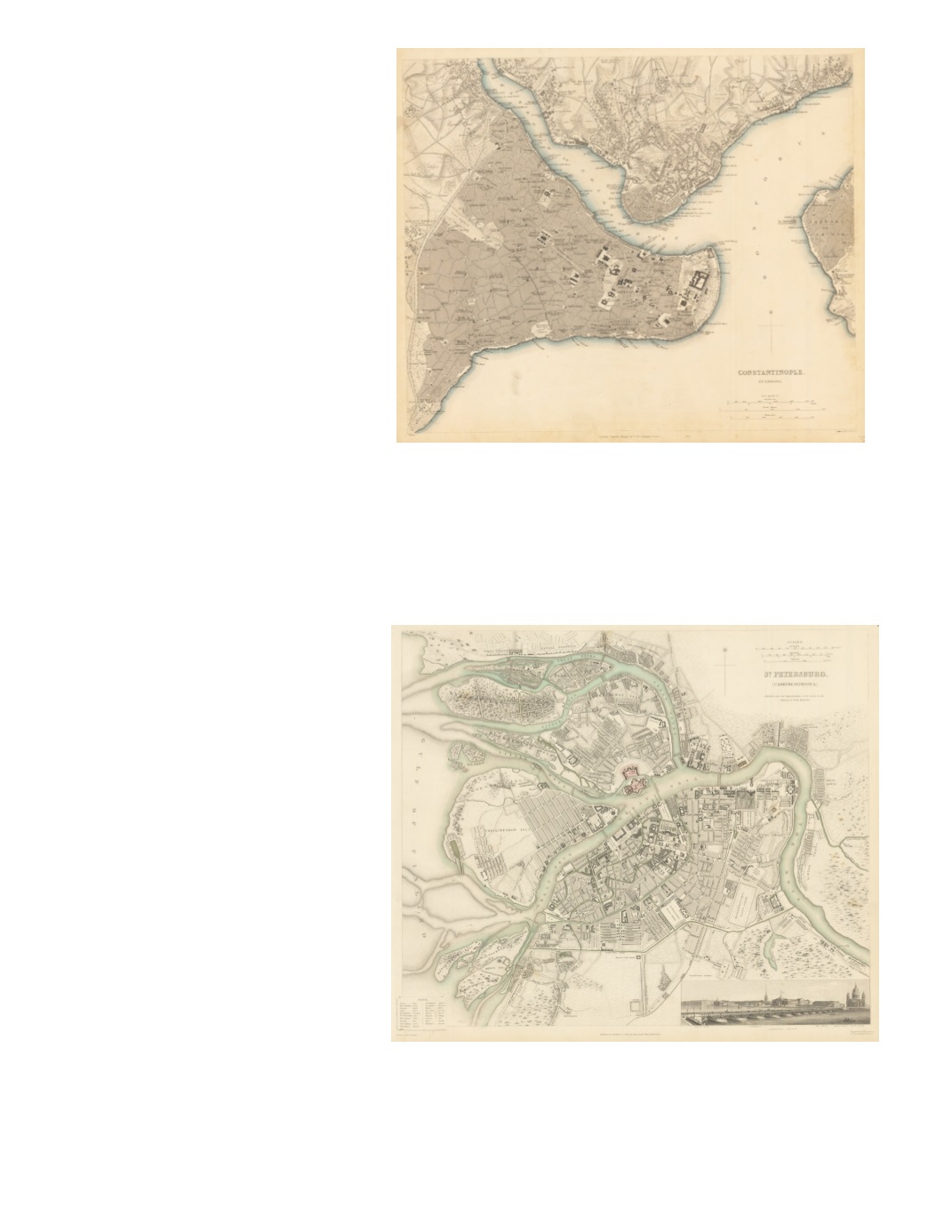
26) Constantinople.Stambool. By: Charles Knight & Co. Date: 1840 (Published) Dimensions: 12.6 x 15.2 inches (32 cm x 38.5 cm) This is a circa 1840 street plan of Constantinople (present-day Istanbul) up to the great wall on the western side, with many cemeteries on the west and northwest sides of the walls, including the well-known Eyüp Cemetery which features in so many antique prints. In addition, it shows the northern side of the Golden Horn and both sides of the Bosphorus, including Galata (present-day Beyo ğ lu), Dolmabahçe Sarayı (Dolma-Baghcheh), and Uskudar, which is on the Asian side of the Bosphorus. A few Byzantine churches are identified, such as Kuchuk Aya Sofia (Little Hagia Sophia, built by Justinian and Theodora), and some other churches that had survived the Ottoman Conquest of 1453. Identifies many locations in great detail, such as mosques, palaces, foreign embassies, schools, Janissary quarters, public baths, Hagia Sophia, and Topkapı Palace. Condition: Good condition with toning and a faint smudge in lower left. Original color $250 27) St. Petersburg By: Baldwin & Cradock Date: 1834 (Published) Dimensions: 12.6 x 14 inches (32 cm x 35.5 cm) This map shows St. Petersburg circa 1834. An inset on the lower right has a view of the “Isakiefskoi Bridge” with the Admiralty, War Office, Statue of Peter I, and St. Isaac’s Cathedral in the background. The Peter and Paul Fortress is shaded pink, and the various meanderings of the Neva, both the ‘Great’ and the ‘Little’ are clearly marked. Vasiliefskoy Island is clearly labeled and various monuments, squares and military installations are also included. A small legend provides translations for the transliterated Russian terminology used in the map. Condition: Excellent condition. $250


