
14
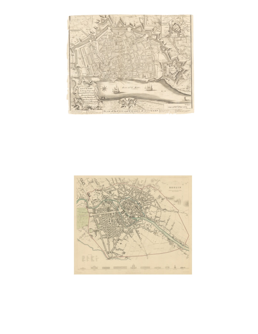
22) Plan of the City and Citadel of Antwerp. Antwerp A strong, large, and Beautiful City on ye River Scheld, in the Dutchy of Brabant, subject to ye Queen of Hungary. By: James and Paul Knapton Date: 1751 (Published) London Dimensions: 14.8 x 18.9 (37.5 cm x 48 cm) This attractive, clearly printed map shows all streets named in the old city and individual bastions and other edifices named in the citadel. Inset in the upper right corner of Antwerp is a small map depicting part of the H. (Holy) Roman Empire including Brabant, Flandres and Anvers. Vignettes of ships and smaller craft are included. Scale is in toises (with the note that one toise is 5 English feet). The compass rose orients the map to the east. Condition: Trimmed very close to top and bottom margins; a tear in the upper right margin; some fraying on the left margin and of the bottom margin.$650
23) Berlin By: Baldwin and Cradock Date: 1833 (Published) London Dimensions: 14 x 25 inches (35.5 cm x 63 cm) This attractive map features Berlin in the 1830s. The built-up area clusters around the Royal Palace and a grid plan around the Gendarmen Markt and Unter den Linden. It does not extend farther west than the Brandenburg Gate. Along the bottom, outside the margin, are line drawings with elevations of 10 major architectural edifices, including the iconic Brandenburg Gate, churches, castles, government buildings and a museum. This steel plate engraving has original coloring which shows parks in green, city boundaries outlined in red, bodies of water in blue. Condition: Good condition with a repaired tear in upper right corner which does not enter the image. $300


