
43
India:
Miniatures
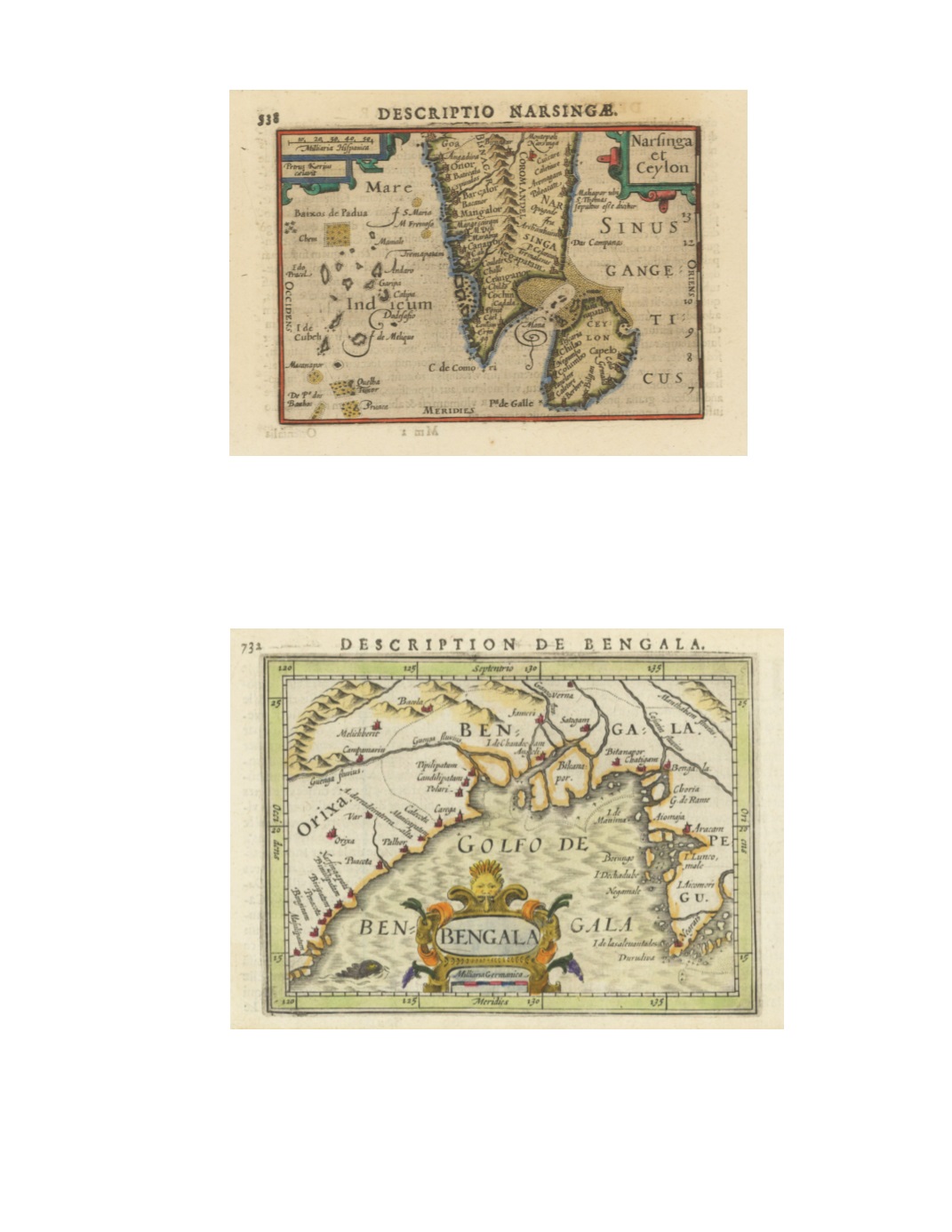
77) Narsinga et Ceylon By: Petrus Bertius Date: 1618 (Published) Amsterdam Dimensions: 3.35 x 4.9 inches (8.5 cm x 12.5 cm) A Highly decorative map from the Latin edition of Tabularum Geographicarum . It depicts India from Goa southward as well as Ceylon (Sri Lanka) and the Maldives. Many coastal towns are marked, such as Mangalor, Cananor, Cranganor, Cochin, Negapatam, Maliapor ubi S. Thomas sepultus esse dicitur (Mylapore where St. Thomas is said to be buried, i.e. present-day Chennai). Some sandbanks are indicated as well as interior mountain ranges, schematically. Condition: Excellent condition with a strong impression. $250 78) Bengala By: Petrus Bertius , Date: 1618 (published) Amsterdam Dimensions: 3.75 x 5.1 inches (9.5 x 13 cm) This miniature map of the Bay of Bengal appeared in a French edition of the miniature atlas Tabularum Geographicam. Towns are mostly on the coast but some are inland. The sea is stylized in sets of zigzag lines. On the reverse, page 731, is a section of text in French headed “Description de Narsinge,” describing, among other things, kingdoms in southern India, their armies with horses and elephants, products such as pearls and diamonds, the custom of widow burning, and the Portuguese in Goa. Title is in a baroque cartouche at bottom center, with a gargoyle at the top and a sea monster to its left. Condition: Excellent condition with lovely hand coloring. $250


