
45
Asia & Oceania
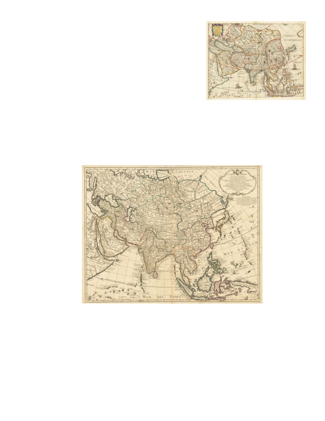
81) Asiæ Descriptio Nova Impensis Annæ Seile, 1663 By: Anna Seile Date: 1663 (Published) Paris (Engraved by Johan Goddard) Dimensions: 13.19 x 17.12 inches (33.5 cm x 43.5) This attractive and colorful map of Asia stretches from Moscow in Russia across to Korea and Japan, including Turkey, Arabia, Persia, Afghanistan, India, Ceylon (Sri Lanka), mainland Southeast Asia, Sumatra, Borneo, the Celebes, and the western tip of New Guinea. The map shows large regions and islands color coded and presents a small title cartouche in a baroque frame in the upper right corner. Labeling is in Latin. The map is embellished with two European sailing ships, one in the Indian Ocean and the other in the Pacific east of Formosa (Taiwan) and the Philippines. The Great Wall of China is prominently marked with a schematic wall. An elephant is shown north of Bengal above a fictitious lake that was believed to be the source of the massive river delta. Condition: Trimmed to its margins, the map has additional paper added on all four sides $500 82) Carte d’Asie Dresée pour l’Usage du Roy Sur les memoires envoyéz par le Czar a l’Academie Royale des Sciences Sur ce que les Arabe nous ont laissé deplus exact des pays orientaux Sur un grand nombre de Routiers de terre et de mer et de Cartes manuscrites detaillées. Le tout assujeti aux observations del’Academie et a Celles des R.R.P.P. Jesuites et autresMathematiciens By : Guillaume Delisle Date: 1723 (dated) Paris Dimensions: 19.09 x 24.8 inches ( 48.5 cm x 63 cm) An elaborate map of the entire continent of Asia, including the islands of Ceylon (Sri Lanka), Indonesia, the Philippines, Formosa (Taiwan), and Japan. On the periphery can be seen Italy and the Balkans, the Baltics, Egypt, Ethiopia, Somalia, the Comoros Islands, the coast of northern Siberia, the Mariana and Caroline Islands, and the western part of New Guinea. The Japanese island of Honshu is labeled “Terre d’Eso ou d’Yesso” and is attached to the easternmost part of Asia, with the Kamchatka Peninsula apparently unknown. A fragment of a separate coast east of that is labeled “Terre de la Compagnie” (Company’s Territory). The was printed on watermarked paper that includes an oval with three or four letters, possibly JHD, and on the other side, the Jesuit emblem, consisting of a circle containing the letters IHS topped by a cross. Title cartouche, in a baroque frame topped with the royal three fleur-de-lis emblem and a crown, is in the upper right corner. Condition: Restoration bottom center on the verso. Top and bottom margins are somewhat narrow. $1,100


