
41
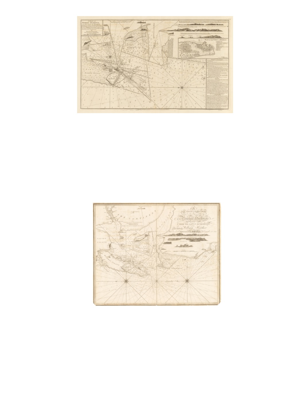
73) A Plan of Bombay–Harbour, on the coast of Malabar, Shewing the true Situation of all the Rocks, Sands & Shoals, with the Marks to Avoid them. The true setting of the Tides the Times of High Water with the Depths at High & Low Water. Likewise the Marks for the Best Anchoring Grounds and all other necessary Directions & ca. By William Nicholson. Master of His Majesty’s Ship Elizabeth. By: Robert Sayer and John Bennett Date: 1778 (Published) London Dimensions: 18.9 x 31.3 inches (48 cm x 79.5 cm) This map of the harbor of Bombay, oriented to the east, includes views of the coast from the sea at several locations. An inset titled “Plan of the Town of Bombay” gives details of the layout of Bombay’s walled fort and settlement as well as surrounding Dungeree Town and Madagascar Town. A key identifies 13 features of the fort, including its storehouse, gates, and wharf. Below that inset is a boxed column containing extensive text headed “References to the Harbour” and includes information on several navigational hazards detailed within the map. A long text at Tull Point recounts an episode in 1761 during the southwest monsoon when His Majesty’s Ship Medway narrowly escaped being lost on a nearby rocky shoal. Condition: Strong impression on heavy paper with full margins. Slight offsetting and foxing throughout. SOLD 74) A New and Accurate Chart of Bombay Harbor drawn from the latest authorities for William Heather. A new edition, With considerable Improvements by J. W. Norie, Hydrographer, &c. By: J.W. Norie Date: 1820 (circa) London Dimensions: 25.2 x 31.3 inches (64 cm x 79.5 cm) Oriented with east at the top, this highly detailed navigation chart offers extensive information on depth soundings, indications of sand bars, and notations on lines of sight to landmarks, as well as several views of the coast and Bombay Fort as seen from the sea. A note states that the depth soundings are in fathoms taken at low tide and that spring tides rise some 15 feet above that. Two compass stars radiate rhumb lines. The scale, below the coastal views, is in nautical miles. The mainland, labeled “The Continent,” has the statement, “This Coast is not frequented by Europeans.” Title with elaborate calligraphy is in the upper right. Condition: Steel plate engraving. Some fraying and darkening along the margins. SOLD


