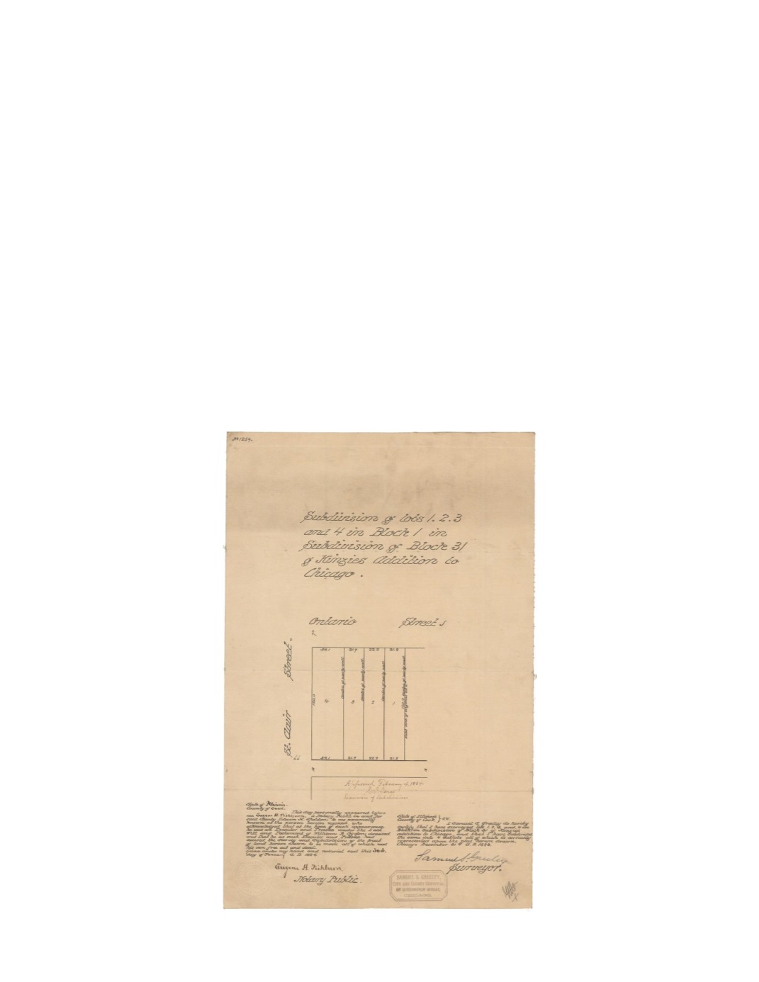

Subdivisions of lots 1, 2, 3 and 4 in Block 1 in Subdivision in Block 31 of Kinzie’s Addition
to Chicago
By:
Samuel S. Greeley
Date:
December 31, 1883
Dimensions:
17 x 11 inches (43.2 x 27.95 cm)
Signatures:
Samuel S. Greeley (City Surveyor), Eugene H. Fishburn (Notary Public), H. J.
Jones (Examiner of Subdivisions)
A continuation of the two previous maps, this map shows the original lots 1 – 4 of Block 1 in
Block 31 of Kinzie’s Addition, resized and labeled with their numbers in reverse order.
Dimensions of each lot are given as well as locations of four party walls. A party wall is a
shared wall that separates two buildings.
Condition:
Drawn on linen cloth with contemporary annotations and folding. Stamp and
manuscript recording on the verso.


