
29
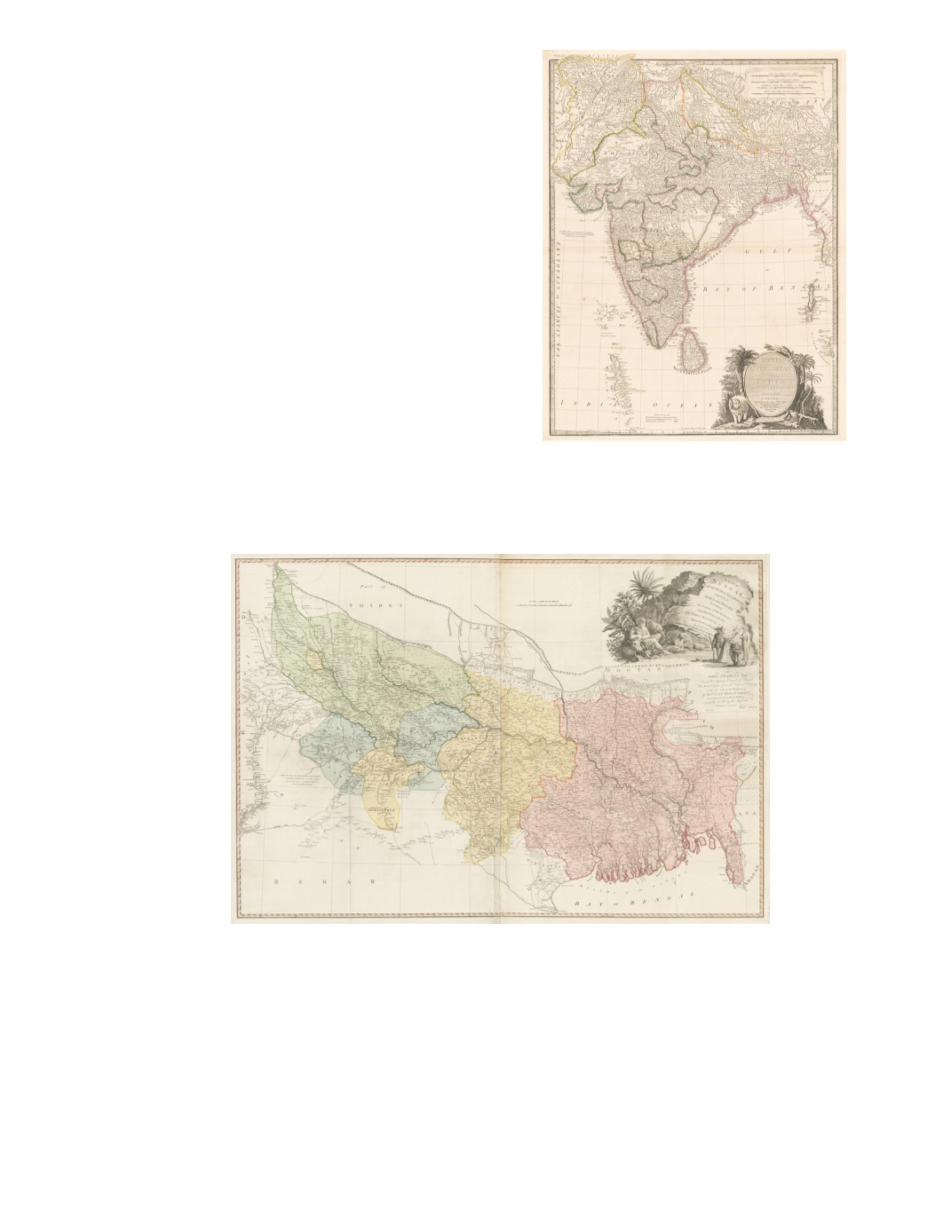
51) Hind, Hindoostan, or India By: Louis Stanislas D’Arcy de la Rochette Published by: Jas. Wyld Date: 1835 (dated) London Dimensions: 27.2 x 20.9 inches (69 x 53 cm) This highly detailed map extends from the Indus Delta eastward to the west coast of Burma, and from Kabul to south of Ceylon (Sri Lanka) and the Maldive Islands. Colored borders indicate British and neighboring territories. Elaborate pictorial cartouche in lower right, has title in a shaded oval surrounded by an elephant, tropical foliage, and palm trees, with an inscription in a ribbon at the bottom. Another cartouche with scales of distance is in the upper right corner. Condition: Very attractive map in excellent condition with original color . $650 52) A Map of Bengal, Bahar, Oude & Allahabad with Part of Agra and Delhi Exhibiting the Course of the Ganges from Hurdwar to the Sea By: William Faden Date: 1786 (dated) London Dimensions: 28.4 x 42 inches (72 x 106.5 cm) This bright example shows the territories in five colors (blue, green, pink, yellow, plus orange margins). It records interior settlements and connecting roads and includes some political commentary (“Country of the Dilzat Roy Tributary to Abjid Sing”). The map extends fromDelhi in the west to the borders of Burma in the east, Nepal and Tibet in the north to the borders of Odisha (Orissa) in the south. The title in the upper right is in a large pictorial cartouche, with palm and banana trees, a panther, local inhabitants include an Indian militiaman with rifle, a woman, a Hindu kneeling in worship, and a turbaned nawab, and a Neptune-like personification of the River Ganges, followed by a calligraphic dedication and description of the map. Condition: Clean watermarked paper with original color. Small tears at the center fold. Rolled folds in bottom section. $850


