
31
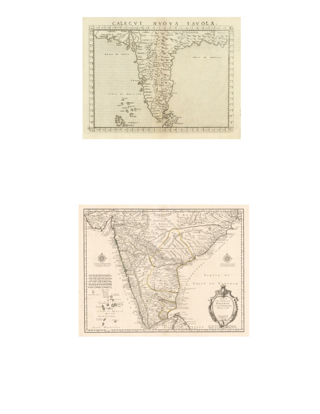
55) Calecut Nuova Tavola. By: Girolamo Ruscelli Published by: Girolamo Zilatti Date: 1564 (Published) Venice Dimensions: 7 x 9.5 inches (18 x 24 cm) This fine copperplate engraving is an expanded edition from Giacomo Gastaldi’s atlas of 1548. The map extends from west of the Gujarat peninsula eastward to Bengal and south as far as northern Ceylon (“Ceilam”). The shape of the Indian peninsula is exaggeratedly narrow. Towns on the west coast are more extensively identified. The sea is shaded with black dots; hills and rivers are schematic. On the verso, Latin text describes local kingdoms, spices such as ginger and pepper, and aspects of society, including Brahmins and Christians. Condition: Very good condition with slight discoloration at the centerfold. $450 56) Carte des Côtes de Malabar et de Coromandel, presentée au Roy, par son trés humble trés obeisssant et trés fidèle sujet, G. Delisle By: Guillaume De L’Isle Date: 1722 (dated) Paris Dimensions: 17.3 x 22.6 inches (44 x 57.5 cm) This interesting map in French extends in the north from the northern portion of Indian to Sri Lanka and includes the Maldives in the west. It details coastal towns, internal settlements, hills, and roads. The title cartouche includes decorative architecture and vegetation with the French royal coat of arms. Two compass roses flank the subcontinent. Condition: This map is in very good condition. SOLD


