
33
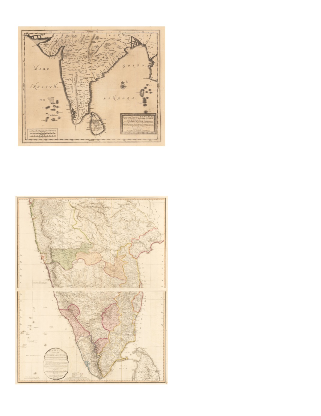
59) Carte du Golfe de Bengale, Mer des Indes et Riviere duGange, Avec les Païs et Iles d’alentour. Savoir les Côtes de Malabar, Cormandel, Ile de Ceylon, les Maldives, les Roiaumes de Visiapour, Golconda, Guzaratte, etc. By: Pierre Vander Aa, Date: 1729 (published) Leiden Dimensions: 11 x 13.6 inches (28 x 34.5 cm) This marvelous map details the southern part of India, Ceylon, and the Maldives. A rectangular picture frame cartouche can be found in the lower right. Depth soundings are given along the east coast. The map indicates a few internal towns, but focuses more on ports and regional boundaries. Condition: Very good condition with no major problems. Map appears evenly darkened with age. SOLD 60) AMap of the Peninsula of India, from the 19th degree north latitude to Cape Comorin MDCCXCII By: William Faden Date: 1795 (dated) London Dimensions: 38.6 x 31.9 inches (98 x 81 cm) This splendid two sheet map is one of the most detailed maps of the southern portion of India of its time. It extends from Bombay (Mumbai), across to Ahmednagar, Nanded, and Nirmal, and the south side of the Godavari River to its delta, south to Kanyakumari and the northern third of Ceylon. Shading of mountains and seacoast resembles the acquatint process. The title cartouche in the lower left of bottom section has notes stating sources of information including “Compiled chiefly from Papers commissioned by the late Sir Archd Campbell , the Surveys of Col. Kelly, Capt. Pringle, Captain Allan &c.” Condition: Excellent SOLD


