
30
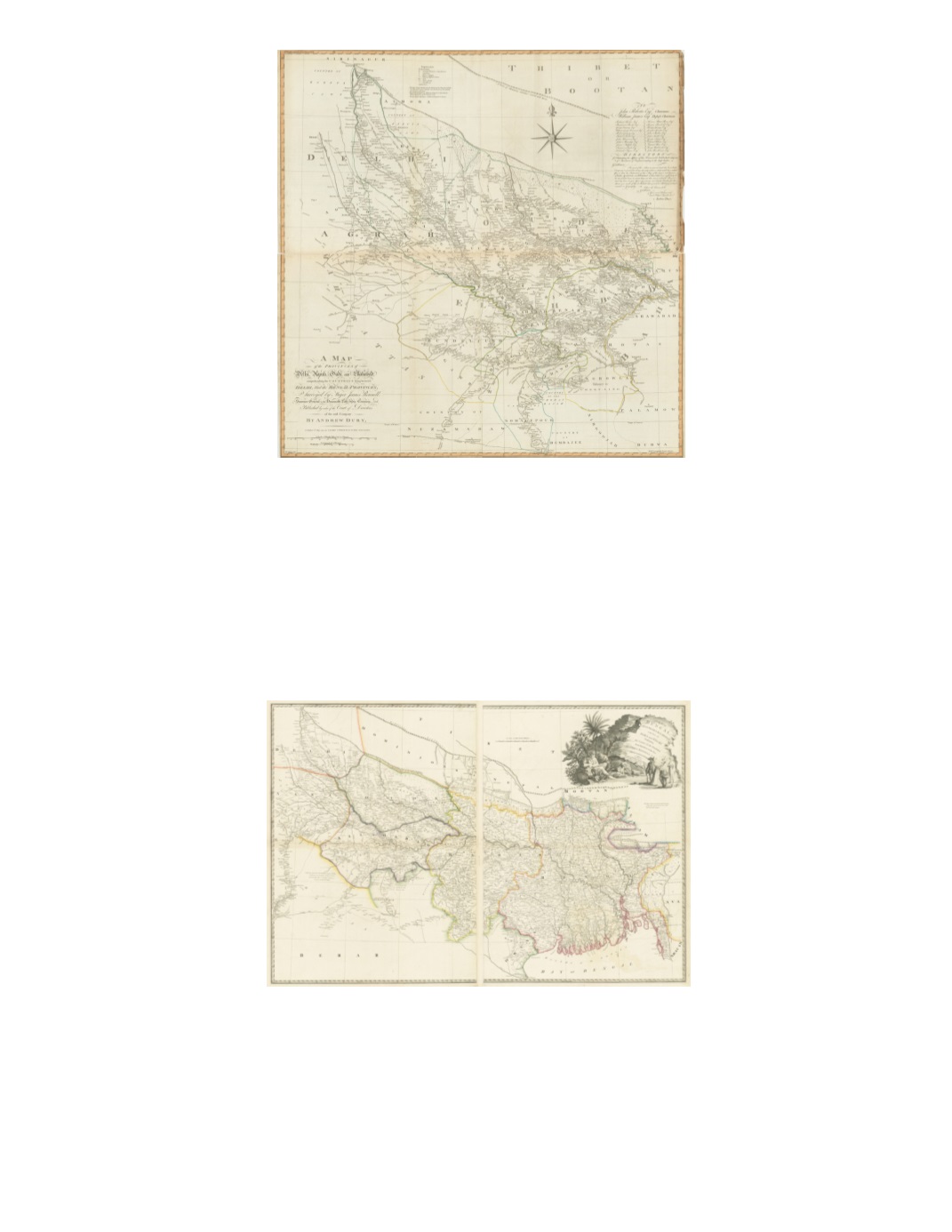
53) A Map of the Provinces of Delhi, Agrah, Oude, and Ellahabad, Comprehending the Countries lying between Delhi and the Bengal-Provinces By: James Rennell Published by: Andrew Dury, Laurie & Whittle Date: 1794 (dated) London Dimensions: 42.5 x 42 inches (108 x 106.5 cm) This highly detailed copper-plate engraved map extends fromHardwar and Delhi in the northwest Gorrakpour in the northeast to Rewa in the south. The map was originally printed on four sheets that have been joined into two large horizontal sheets. It includes a very large calligraphic title in the lower left and a dedication to the Directors for Managing the affairs of the Honourable East India Company of Merchants of England trading to the East Indies. The map details cities, towns, roads, rivers, lakes and mountains, as well as various political possessions detailed in original coloring. Condition: Trimmed on all margins with some damage to the upper right margin. Slight browning of paper along top half of bottom sheet. Lower left fold separation repaired on verso. $950 54) A Map of Bengal, Bahar, Oude & Allahabad with Part of Agra and Delhi Exhibiting the Course of the Ganges from Hurdwar to the Sea By: James Rennell Published by James Wyld Date: 1837 (dated) London Dimensions: 28.3 x 42.1 inches (72 x 107 cm) This large, two sheet map of Bengal extends from Delhi in the west to the borders of Burma in the east, Nepal and Tibet in the north to the borders of Odisha (Orissa) in the south. This is the second edition, published by James Wyld, successor to William Faden. Wyld maintained the high standard of graphic and factual excellence that had been established by his predecessor and his maps are among the finest published in the early nineteenth century. Condition: Very good with a few tears outside margins and original outline color. $450


