
36
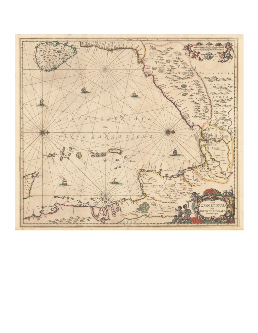
65) Sinus Gangeticus, Vulgo Golfo de Bengala. Nova descriptio. By: Jan Jansson Date: 1657 (circa) Amsterdam Dimensions: 18.5 x 21.26 (47 cm x 54 cm) Oriented with west at the top, this map with original color shows the Bay of Bengal and the coasts surrounding it beginning with all of Ceylon (Sri Lanka) at the upper left, and continuing with the coast of present-day Tamil Nadu, Andhra Pradesh, Odisha, and Bengal, then curving around the coast of Burma and southern Thailand and the northern tip of Sumatra. Andaman and Nicobar Islands are prominent. The map depicts hills with trees, occasional forests, and rice fields. Towns are most densely noted on the southern Tamil Nadu coast as well as going up the Ganges River as far as Ougely (Hooghly). The sea is adorned with numerous sailing ships and two compass roses radiating rhumb lines. Condition: Small tears outside margins at top and bottom. $1,000


