
37
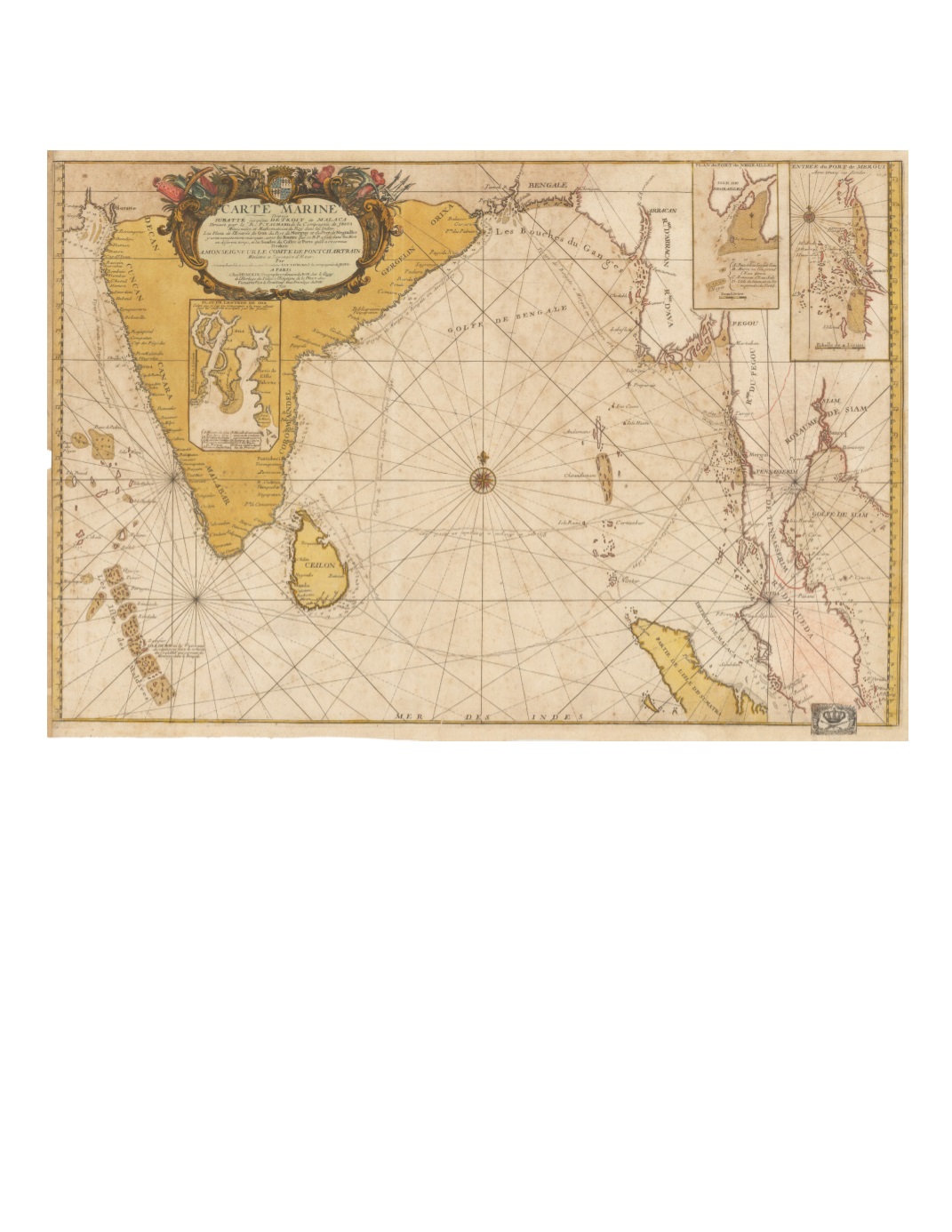
66) Carte Marine Depuis Suratte jusqu’au Detroit de Malaca Dressée par le R. P. Tacharde de la Compagnie de Jesus Missionaire et Mathematicien du Roy dans les Indes... By: Jean Baptiste Nolin Date: 1701 (dated) Paris Dimensions: 18.7 x 28.14 inches (47.5 cm x 71.5 cm) This map prominently plots four voyages undertaken by Jesuit Father [Guy] Tachard between Gujarat, Bengal, and Burma from 1696 to 1699. In 1685, Tachard had been part of a French diplomatic delegation to the court of the King of Siam, sent to explore the possibility of converting the king to Christianity. On the map are traced the routes of Tachard’s voyages from Surat to Bengal in April 1696, from Mergui (Burma) to Bengal in April 1697, from Bengal to Mergui in November 1697, and from Mergui to Pondicherry in April 1699. The map presents the seacoasts of India, Ceylon (Sri Lanka), Burma, northern Sumatra, the Malay Peninsula as far south as Malacca, and the northern end of the Gulf of Thailand. Depth soundings are given along the coasts of India, Ceylon (Sri Lanka), and both sides of the Malay Peninsula. No interior towns or routes are shown, with the exception of a few places along or near the mouths of rivers. At the bottom right hand corner of the map is glued a rectangular paper bearing the emblem of the Royal Prussian Academy of Sciences (“Kon. Preuß. Academie der Wissenschaften”) map repository, decorated with a large crown under which are crossed sword and scepter, surrounded by fronds of foliage and flowers wrapped in ribbons. Condition: The paper is a tan color, on front and back, has repairs along the left margin with a small piece missing outside the margin. A small tear slightly into the map near the centerfold has been repaired with archival material. SOLD


