
50
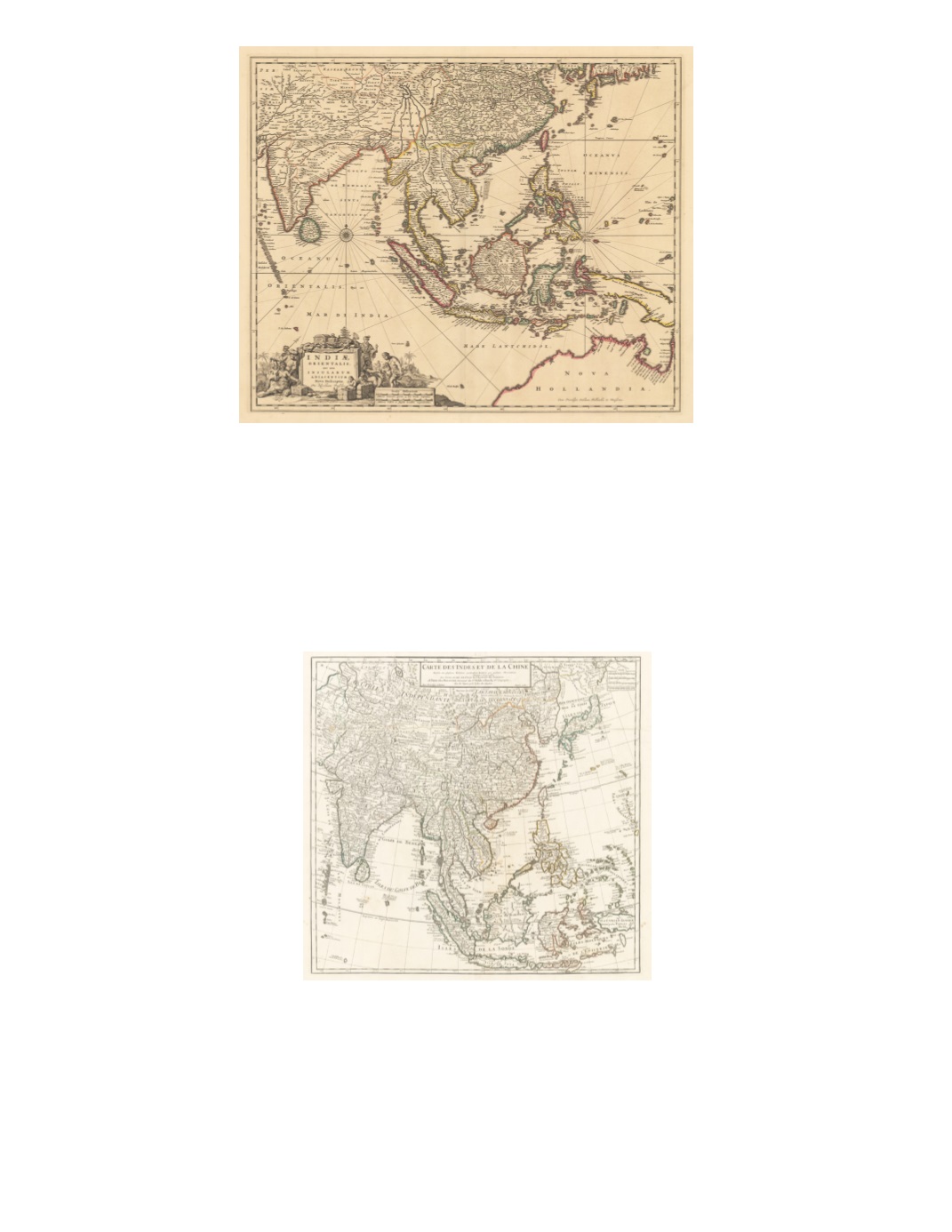
89) Indiæ Orientalis. Nec non Insularum Adiacentium Nova Descriptio. By: Nicolaus Visscher Date: 1690 (published) Amsterdam Dimensions: 18.3 x 22 inches (46.5 x 56 cm) This lovely map extends from eastern edge of Persia across India and China to the southern parts of Japan, including all of Southeast Asia, the Philippines, western New Guinea, and the western two-thirds of northern Australia (labeled “Nova Hollandia”; New Holland). Coastal ports are most densely identified on the coasts of India, Ceylon (Sri Lanka), the Malay Peninsula, Sumatra, Java, Borneo, Sulawesi, Vietnam, Philippines, and China. Interior towns and rivers in China are especially detailed. The Australian Gulf of Carpentaria has many coastal features named. An intricate, decorative title cartouche in the lower left features a variety of indigenous people with riches flora and fauna. Condition: Excellent condition with a sharp impression and original color on clean paper with full margins. $2,250 90) Carte des Indes et de la Chine Dresée sur plusieurs Relations particulieres Rectifiées par quelques Observations par Guillaume de l’Isle de l’Academie Royale des Sciences By: Phillipe Dezauche Date: 1781 (dated) Paris Dimensions: 24 x 24.5 inches (61 x 62 cm) The map features all of South, Southeast, and East Asia, including all of Indonesia, the Philippines, Formosa (Taiwan), Korea, and Japan, as well as Central Asia. Remarkable features include Silk Road trade routes from China to India and across Central Asia, linking up with Tashkent, Samarkand, and Bukhara; a tree-lined road from Agra to Lahore; and remarks on inhabitants, such as Borneo being a land of Mohamedans but with idolaters living in the interior. Condition: Repair on the back of part of the top and a small separation at the fold intersection near the top. $500


