
51
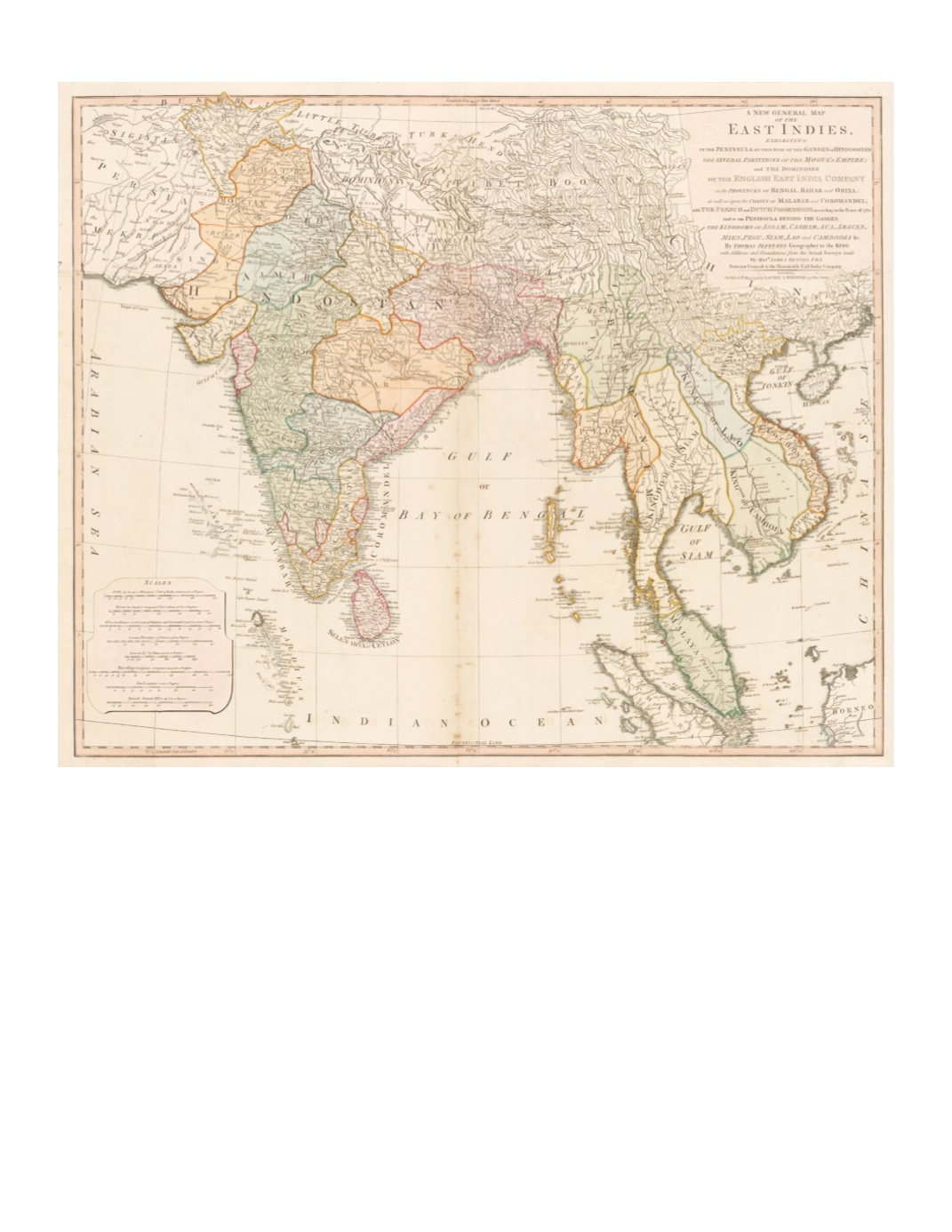
91) A New General Map of the East Indies. Exhibiting in the Peninsula on this side of the Ganges or Hindoostan the Several partitions of the Mogul’s Empire… By: Thomas Jefferys Published by: Laurie & Whittle Date: 1794 (dated) London Dimensions: 22.5 x 23.2 inches (57 x 69 cm) This map extends from southeastern Persia eastward across Afghanistan, Kashmir, Tibet and southern China andHainan Island, and all of the Indian Peninsula, Ceylon (Sri Lanka), mainland Southeast Asia to south of the Straits of Singapore, including the northern end of Sumatra and a western corner of Borneo. Many interior mountains, rivers, towns, and roads are detailed. In a few places there are comments, such as (along coast of Cambodia) “Cancar or Ponthiamas a Little Kingdom founded about 50 years ago by Kiang-tse a Chinese Mercht”; (inland central Vietnam) Mountains inhabited by the Wild Nation called Ke-moy”; (Sambalpur, Odisha) “Sumbulpour a Diamond Mine.” Condition: Paper in moderate condition with original color. There are several small tears on edges of paper outside margins, centerfold repairs on the verso. $1,750


