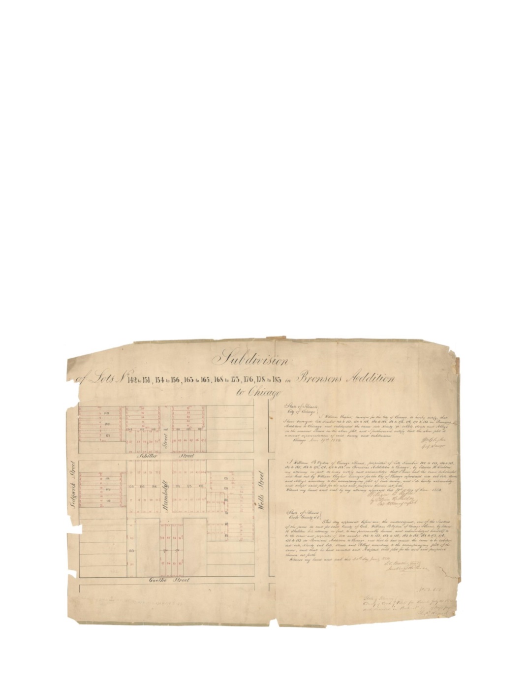

Subdivision of Lots 142-151, 154-156, 163-165, 168-173, 176,178,-183 in Bronson’s addition
to Chicago
By:
William Clogher, Surveyor City of Chicago
Date:
June 19, 1854
Dimensions:
19 x 26 inches (48.25 x 66 cm)
Signatures:
William Clogher (City Surveyor), Edwin H. Sheldon (Attorney for William B.
Ogden), D.C. Beattis (Justice of the Peace)
This map shows a large area that was formerly lots within Bronson’s addition to Chicago,
subdivided into many smaller lots for William B. Ogden. The black numbers and dashed lines
represent the original lots and the red numbers and lines represent the new lots. The mapped
area is in what is now known as the Old Town neighborhood of Chicago. Today, Evergreen
Ave. runs eastbound between Schiller and Goethe, the Franklin Fine Arts Center occupies the
southeast portion of the map, and the CTA Brown Line runs north and south along the western
quarter of the map.
Condition:
Numerous large vertical breaks with several missing pieces. Paper is thick and
brittle with a contemporary green cloth edging. Old repairs can be found on the verso


