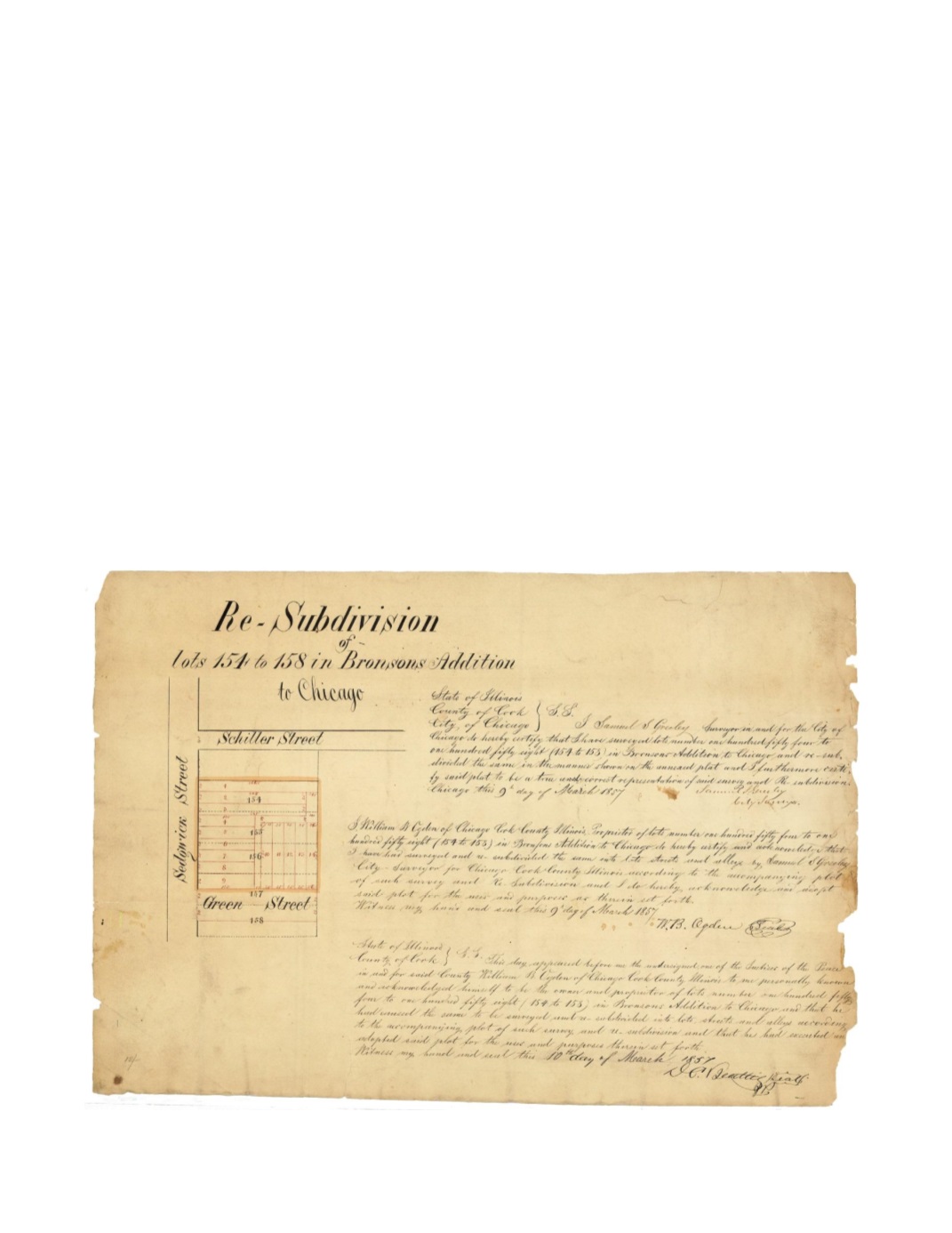

Re-Subdivision lots 154-158 in Bronson’s Addition to Chicago
By:
Samuel S Greeley City of Chicago surveyor
Date:
March 9, 1857
Dimensions:
20 x 13.25 (50.8 x 33.65 cm)
Signatures:
Samuel S Greeley (City Surveyor), William B. Ogden (Proprietor), D.C. Beattis
(Justice of the Peace)
This map shows lots 154 – 157 in Bronson’s Addition being subdivided into fourteen smaller
lots. The southern half of Lot 157 and the northern half of Lot 158 have been taken to form a
new street known as Green Street, which today is Evergreen. Many of the lots as well as the
alley still exist today in what is now the Old Town neighborhood. The CTA Brown line runs
adjacent to the east side of the mapped area.
Condition:
Paper loss along the sides, most apparent at right edge, some staining and light
foxing. Contemporary pinholes within map and manuscript on the verso.


