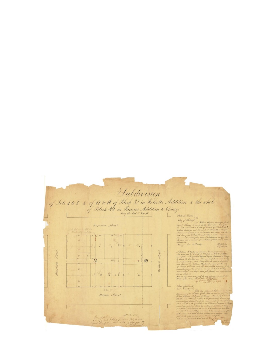

Subdivision of Lots 1-5 and of 12- 16 of Block 32 in Wolcott’s addition and the whole of
Block 49 in Kinzie’s addition to Chicago
By:
William Clogher
Date:
June 20, 1854
Dimensions:
17.5 x 23 inches (44.5 x 58.4 cm)
Signatures:
William Clogher (City Surveyor), Edwin H. Sheldon (Attorney for William B.
Ogden), D.C. Beattis (Justice of the Peace)
This map shows lots owned by William B Ogden in both Wolcott’s and Kinzie’s Additions to
Chicago. Block 32 within Wolcott’s Addition makes up the majority of the lots while Block 49
in Kinzie’s Addition only makes up a small portion of the mapped area to the east. A dashed line
running North and South extending beyond the mapped area indicates the division between the
two additions. There are pencil markings within the map that suggest a revision of the lots
within the subdivision that would eliminate the alley system.
Condition:
Several breaks and areas of paper loss. One vertical break extends over half the
height of the map. There are also several pinholes placed along the intersections of lots that are
likely contemporaneous with the piece.


