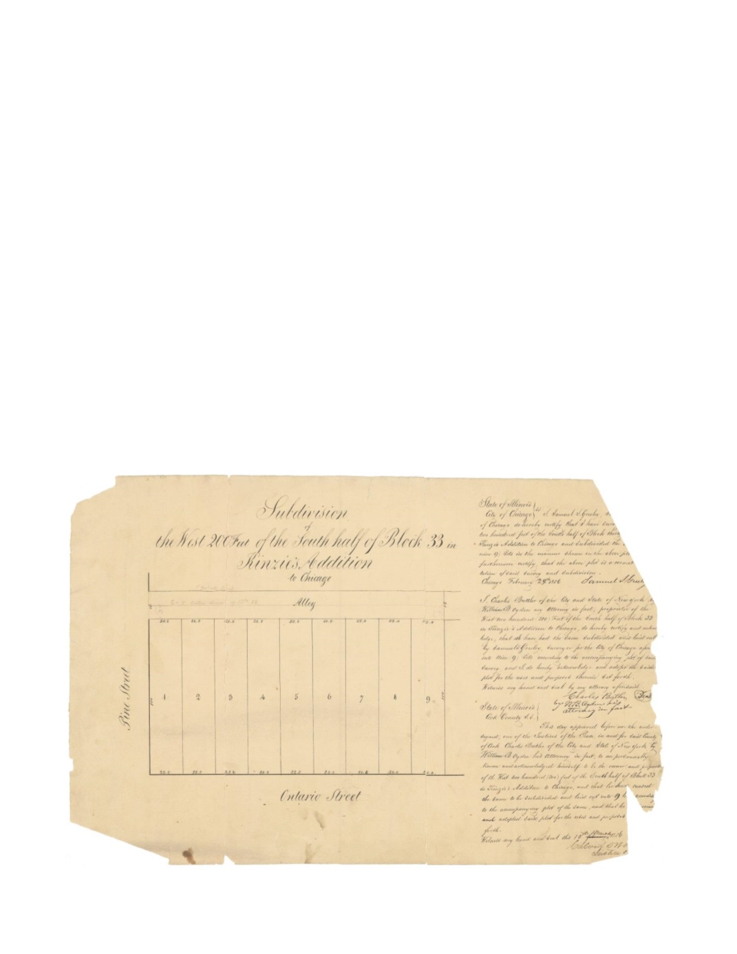

Subdivision of the West 200 Ft of the South Half of Block 33 in Kinzie’s Addition to
Chicago.
By:
Samuel S Greeley
Date:
Feb 29, 1856
Dimensions:
12 x 18.75 inches (30.5 x 47.6 cm)
Signatures:
Samuel S. Greeley (City Surveyor), William B. Ogden (Attorney of Charles
Butler), Calvin D. ___ (Justice of the Peace)
This is the first map of the collection by the new surveyor for the city of Chicago, Samuel S.
Greeley. Like many of the preceding maps, this map shows the lots owned by Charles Butler,
signed for by William B. Ogden acting as his attorney. The map shows nine lots of nearly equal
size along Ontario Street with alley access from Pine Street, which would later become
Michigan Avenue. The alley still exists just north of the Burberry store that currently sits on lots
1 and 2.
Condition:
Two vertical breaks separate the map into three sections. Several areas of loss, most
notably long the right edge. Contemporary pinholes within the map and manuscript on the verso.


