
52
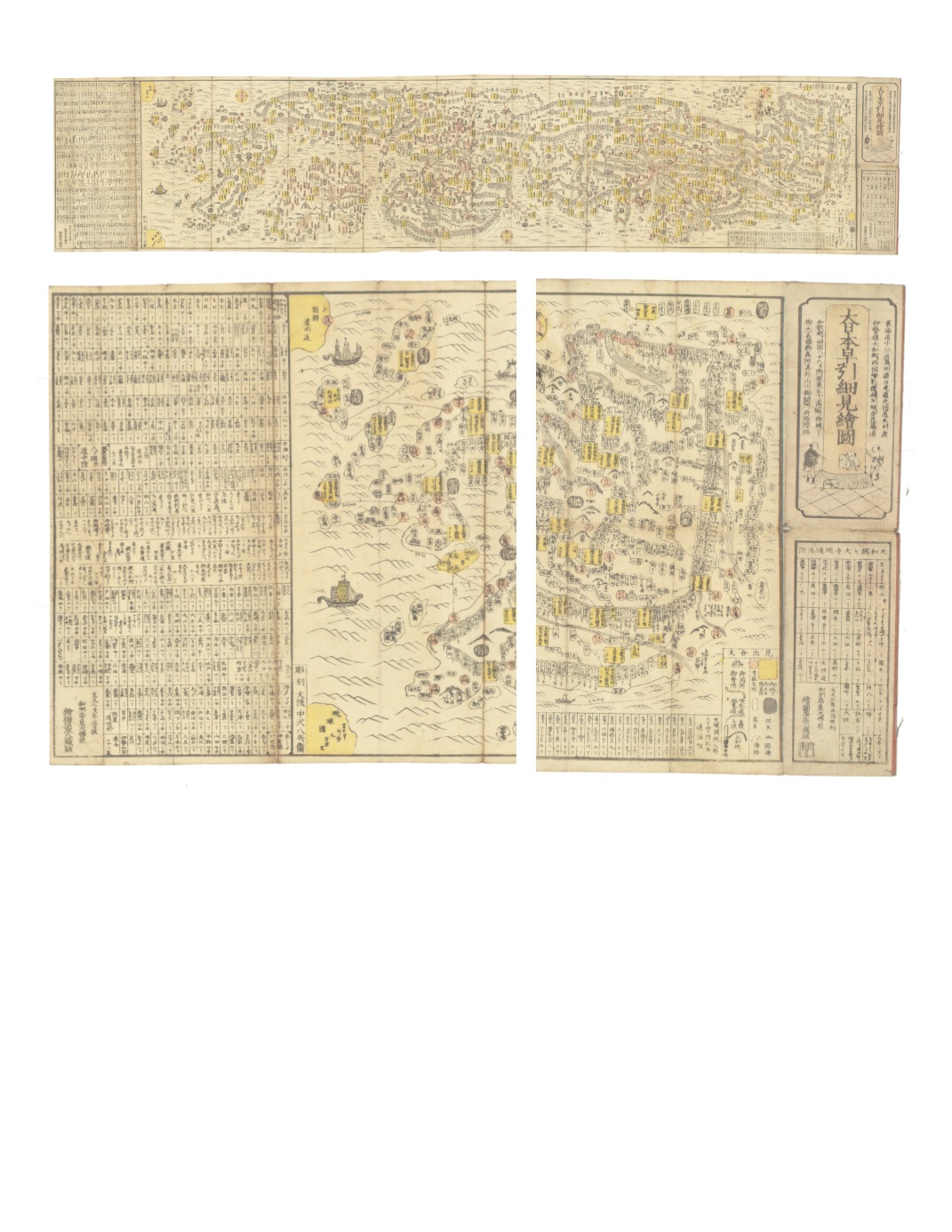
92) Dai Nihon hayabiki saiken ezu. Bunky ū 3 (Quick Reference Detailed Illustrated Map of Great Japan Distance to important temples in Yamato) By : Ezuya Sh ō hachi Engraved by: Nakazawa Hachib ē in Osaka Date: 1863 (published) Nara Dimensions: 14 x 69.5 inches (35.5 x 176.5 cm) This folding map of routes in Japan extends from the island of Honshu, past the Inland Sea and Shikoku, to Kyushu. Ships and waves are shown on the water, as well as mountains and several ferry routes. A key explains that salmon-colored circles contain the names of famous temples and palaces; yellow rectangles contain names of daimyo near their castles plus their stipend in rice from the shogun; black ovals surround names of provinces; rounded cartouche-shaped boxes indicate names of places for travelers to stop; small black triangles mark the sites of provincial borders; and gate-shaped hatch-marks indicate check points. In addition, a salmon-colored route is a pilgrimage way along the Bando Road; double-lined routes indicate seven roads in the Kenai region; dark black roads are the Yamato route. On Shikoku, tall salmon colored rectangles contain the names of pilgrimage spots. The map is presented with a westward orientation. Condition: Woodcut on mulberry paper with original color. Map exhibits wear from use. $3,500


