
55
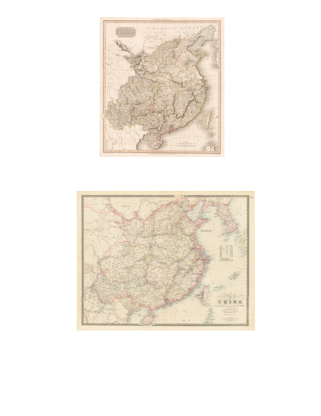
95) China By: John Pinkerton Date: 1809 (dated) London Dimensions: 22 x 19.7 inches (56 x 50 cm) This is a large detailedmap of China, including Taiwanwith exceptional topographic detail. Mountains presentedwith hachures. Condition: Excellent condition with original color detailing provincial boundaries. $400 96) Map of China Compiled from Original Surveys & Sketches By: James Wyld Date: 1884 (dated) London Dimensions: 24.2 x 30.9 inches (61.5 x 78.5 cm) Exhibits China bordered by Vietnam, Burma, Tibet, Mongolia, and Korea, not extending further north than Liaoning (“Leao- Tong”) in the northeast. Includes Gansu (“Kansuh”), Hainan Island (“Haenan”), Formosa (“or Tai Ouan”; with only its western and northernmost parts indicated as part of China), and Korea (“Corea”). The names of some 17 Treaty Ports are underlined, provincial boundaries are marked, and submerged oceanic telegraph lines are indicated. Condition: Original linen tape secures horizontal fold in the bottom quarter of the map. $850


