
53
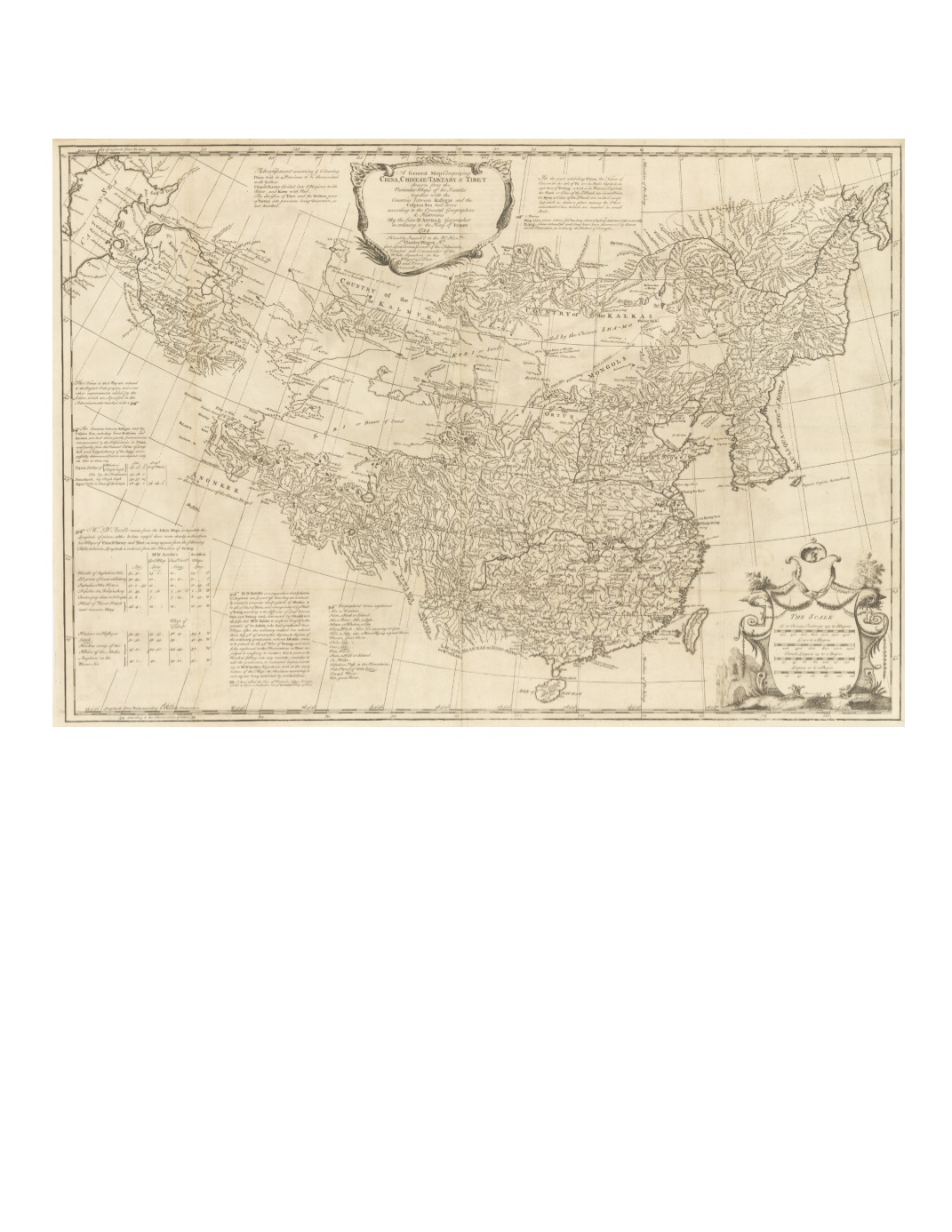
93) A General Map Comprizing China, Chinese-Tartary & Tibet: drawn from the Particular Maps of the Jesuits together with the Countries between Kashgar and the Caspian Sea laid down according to the Oriental Geographers & Historians By the Sieur d’Anville, Geographer in ordinary to the King of France 1734 By: Jean Baptiste Bourguignon d’Anville Date: 1734 (dated) London Dimensions: 18.5 x 27 inches (47 x 68.5 cm) An important 18th century map compiled from extensive Jesuit surveys carried out for the Emperor Kangxi between 1708 and 1718. The map depicts the whole of China and Korea, as well as Central Asia adjacent to the Caspian Sea. It extends as far northeast as Manchuria and the Amur River, including Korea, and southwest across Tibet as far as Ladakh. The entire course of the Great Wall is plotted. Explanatory text attests to the great care taken in checking the latitude and longitude of places represented, indicating various methods by a system of underlining. Decorative title and scale of miles cartouches with several textual tables of information fill in the empty spaces of the map. Condition: Very good condition, issued folded with evidence of wear to the paper at lower fold intersection. A subtle rolled center fold is apparent. $12,000


